Plan your best trip toPatagonia

Trails, stays and experiences across Patagonia.Weather-aware guidance for better days and routes.

Explore destinations first

2 base towns18 trails mapped109 stays curatedFree local planning advice

01Decide where

Where will you base yourself?

Compare the base towns of Argentina and Chile — scenery, season, and trip rhythm.

El Chaltén

Argentinian PatagoniaTrail base

El Chaltén

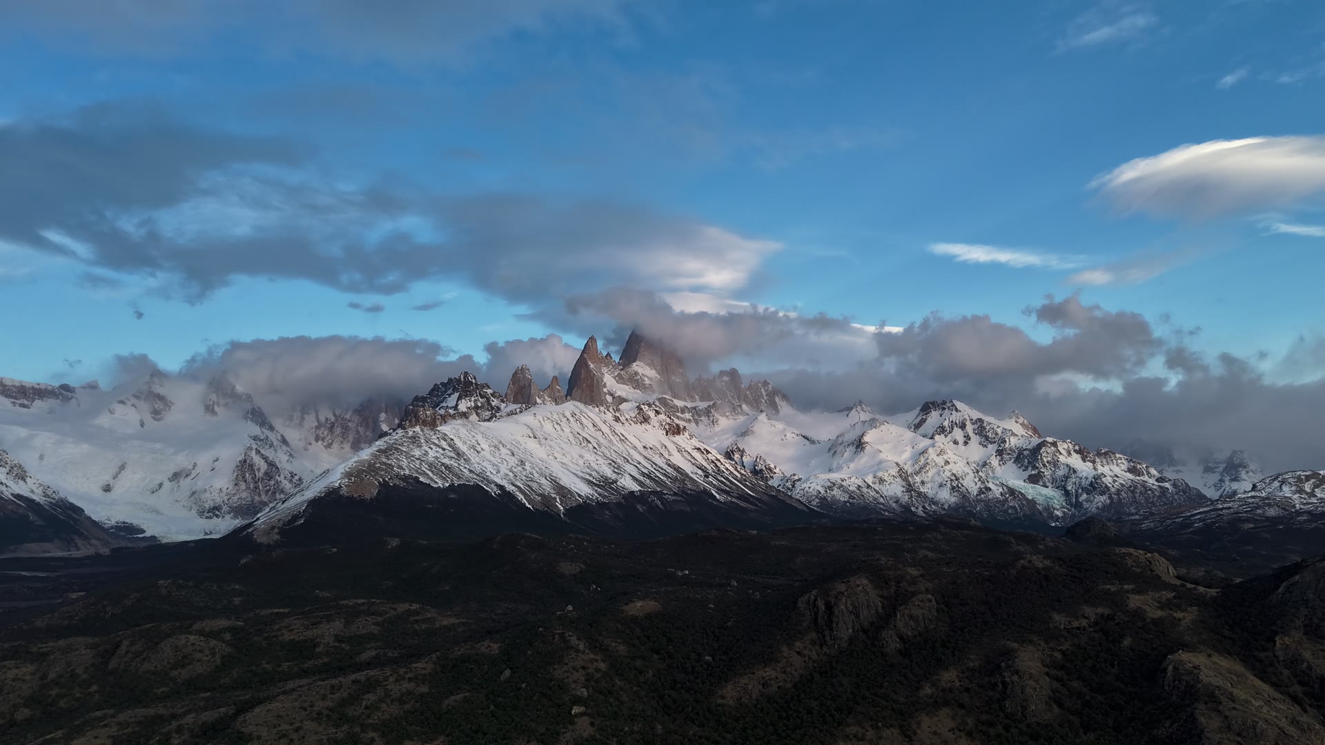
El Chaltén is Argentina's trekking capital, set beneath the Fitz Roy massif, where iconic hikes begin at the edge of town.

Best season:
October – April
Best for:
Fitz Roy
Access:
Bus + trailheads
Trip rhythm:
Trail-first base

El Chaltén — 1 of 2

One region, two countries.

Every base town we cover, mapped. Tap a marker to see what's there and open the destination guide.

The numbers you'll actually check.

WeatherLive
El Chaltén — AR
6°0°/14°
Great day

Dry · Light wind · Enough daylight

Wind9km/h
Gusts29km/h
Rain0%
Humidity72%
Daylight13h 11m
Rise / Set07:03–20:14
08:00–12:00
Alerts
Week ahead
Sat0%08:00–12:00
Sun0%12:00–16:00
Mon6%17:00–20:19
Tue2%07:40–19:10
Wed2%07:38–19:12
Thu3%07:36–19:13
Weather via Open-Meteo · Updated 23:30Not safety advice
Peso · todaylive rate
1,530ARS

1 USD · USD blue · avg

  • USD blue · avg1,530
  • EUR official · avg1,694
  • BRL official · avg304
  • CLP official · avg1.551
  • UYU official · avg38
  • GBP reference1,375

Rates by DolarApi · 2026-10-09 21:00 UTC

Common routesToday
FromAnywhere
ToAnywhere
  • El Calafate → El ChalténRP23 · bus or rental car3h
  • Puerto Natales → Torres del PainePark shuttle · Laguna Amarga2h
  • Punta Arenas → Puerto NatalesRuta 9 · intercity bus3h 15m
  • El Calafate → Perito Moreno GlacierRP11 · bus or rental car1h 20m
  • Ushuaia → Tierra del Fuego NPPark shuttle35m
  • Bariloche → El BolsónRuta 40 · bus or rental car2h
  • Bariloche → Villa La AngosturaSeven Lakes gateway1h 30m
  • San Martín → Villa La AngosturaRuta 40 · Seven Lakes2h 30m
  • Esquel → Los Alerces NPRN259 + RP711h
  • Coyhaique → Cerro CastilloCarretera Austral1h 30m
  • Chaitén → FutaleufúCarretera Austral3h
  • Pucón → Huerquehue NPLocal bus or rental car1h

See all transportation →

The Patagonia packing checklist

Wind-tested layers, plus what to rent in town instead of flying with — free, straight to your inbox.

Or browse the gear rental guide
04Hand it to a local

Get the Patagonia plan you can actually trust.

Send your rough dates and wish list. A local planner turns it into a realistic route, flags the weather-risky days, and shows clear options before you commit.

  • A route ordered around the weather, bus times, border crossings, and park rules
  • Places to stay, guides, and transfers picked to fit your budget
  • An itemized quote you can compare — and no obligation to book
Our local plannersLocal guides & trip planners

We read and answer every request personally — no bots, no call centers.

About 30 seconds · only your email is required

Rough dates are fine — we plan around them.

Pick up to 5 — or none, and we'll suggest a route.

No card needed · we reply within 48 hours
“The planner rebuilt our week around a storm window we had no idea was coming. We summited Laguna de los Tres in perfect light.”
Maren SundqvistEl Chaltén · 6 days
“Every bus, border crossing, and refugio was sequenced for us. We just followed the plan and it worked.”
Diego FernándezW Trek + El Calafate · 12 days
“Honest advice — they talked us out of an itinerary that would have been miserable in April and built a better one.”
Rachel WhitfieldBariloche + Lakes · 8 days

Common questions.

The best time is November to March (Austral summer) when trails are fully open and daylight is long. October and April are excellent shoulder seasons with fewer crowds. Bariloche has a separate ski season from June to August.

Didn't find your question?